
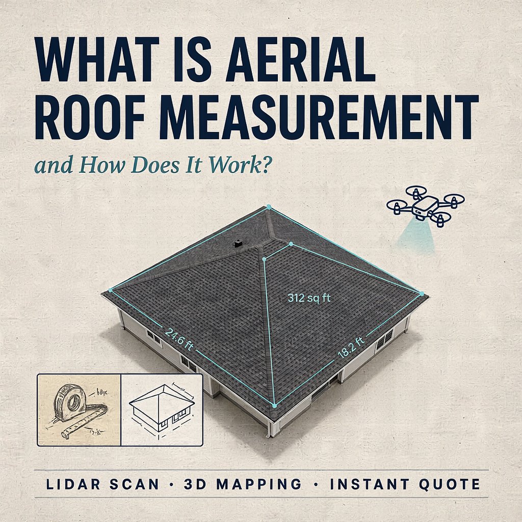
Gone are the days when estimating a roofing job meant pulling a heavy 30-foot ladder off the truck, climbing onto a steep, potentially slippery surface, and spending hours painstakingly stretching a tape measure across every ridge and valley. The roofing, solar, and insurance industries have undergone a massive technological revolution, and at the forefront of this shift is aerial roof measurement.
Whether you are a roofing contractor looking to scale your business, an insurance adjuster processing claims after a severe storm, or a homeowner curious about how a contractor generated a quote without ever stepping foot on your property, understanding this technology is essential.
In this comprehensive guide, we will explore exactly what aerial roof measurement is, the incredible technology that powers it, and how it is reshaping the home exterior industry. We will also dive deep into crucial topics like accuracy, pricing, safety, and efficiency.
Understanding Aerial Roof Measurement
At its core, aerial roof measurement is the process of using high-resolution imagery captured from above—via satellites, manned aircraft, or unmanned drones—to extract precise dimensional data of a building’s roof. Software algorithms and 3D modeling techniques process these images to calculate the exact square footage, pitch, lengths of ridges, hips, valleys, eaves, and rakes.
Instead of a human physically measuring the structure, the technology digitizes the property, creating an interactive, highly accurate 3D model. This model is then used to generate a detailed data report that contractors use to order materials, create estimates, and plan the physical labor required for the job.
The primary sources for this aerial imagery include:
Satellites: Orbiting high above the Earth, providing vast coverage and frequently updated imagery for almost any address.
Manned Aircraft: Planes equipped with high-resolution, multi-directional cameras flying at lower altitudes to capture crystal-clear orthogonal (top-down) and oblique (angled) images.
Drones (UAVs): Piloted by operators on the ground, drones fly just above the property to capture ultra-high-definition images, making them perfect for complex roofs or properties obscured by heavy tree cover.
How Does Aerial Roof Measurement Work?
The magic behind aerial roof measurement lies in a combination of high-definition imagery and advanced mathematical computations, primarily a science known as photogrammetry. Here is the step-by-step breakdown of how the process works from start to finish.
Step 1: Image Capture
The first step requires capturing multiple images of the target property. For the software to build an accurate 3D model, it needs to see the roof from multiple angles. This usually means capturing one top-down image (orthogonal) and several angled images (oblique) from the north, south, east, and west.
Step 2: Photogrammetry and 3D Rendering
Once the images are captured, they are fed into specialized software. Photogrammetry is the science of making measurements from photographs. By identifying common points across the different overlapping images, the software can triangulate the exact position of every corner, edge, and chimney on the roof in three-dimensional space.
Step 3: Pitch and Dimension Calculation
Calculating the area of a flat roof is simple geometry. However, most residential roofs are sloped. The software uses the 3D model to calculate the exact pitch (the steepness) of every single roof facet. By knowing the pitch and the top-down area, the algorithms compute the true surface area of the roof.
Step 4: Final Report Generation
Within minutes to a few hours, the software compiles all this complex data into an easy-to-read, comprehensive PDF report. This document includes a 3D diagram, length measurements for all edges, total square footage, pitch breakdown, and even estimated material waste factors.
How Accurate Is Satellite Roof Measuring? A Complete Guide
One of the most common questions contractors and homeowners ask is: How accurate is satellite roof measuring? It is a valid concern. If a measurement is off by even a small percentage, a contractor could end up ordering too few shingles (causing job delays) or too many (eating into their profit margins).
The short answer is that modern satellite and aerial roof measurements are incredibly accurate, often surpassing the accuracy of manual measurements.
The Margin of Error
Leading aerial measurement companies claim an accuracy rate of 95 percent to 99 percent. When errors do occur in manual measuring, they are usually the result of human mistakes—misreading a tape measure, skipping a small dormer, or struggling to measure a dangerously steep facet. Software eliminates this human error.
Overcoming Pitch Challenges
A top-down satellite image only shows a flat representation of a roof. If a roof is very steep, its actual surface area is much larger than its flat “footprint.” High-quality aerial measurement services use oblique imagery and stereoscopic 3D modeling to calculate the pitch down to the exact degree. This ensures the final surface area calculation is mathematically sound.
Factors That Can Affect Accuracy
While the technology is highly reliable, it is not entirely flawless. Certain environmental factors can occasionally impact the accuracy of satellite or aircraft-based measurements:
Heavy Tree Cover: If thick, overhanging branches obscure large portions of the roof, the software may struggle to identify the exact edges or valleys.
Deep Shadows: High-contrast shadows cast by nearby skyscrapers or massive trees can sometimes hide the details of roof lines.
Recent Construction: If a house is newly built or the footprint was recently changed via a massive addition, satellite imagery databases might not have the updated pictures yet.
In scenarios where satellite imagery is obstructed or outdated, drone-based aerial measurements are the perfect fallback, as they fly below the cloud cover and tree canopy to get a perfect shot.
What Is the Cost of Professional Sky-View Roof Reports?
For roofing businesses transitioning to this technology, understanding the financial investment is crucial. What is the cost of professional sky-view roof reports? The pricing structure varies depending on the provider, the size of the property, and the required turnaround time, but it generally proves to be a highly cost-effective investment.
Pay-Per-Report Pricing
Most popular aerial measurement companies offer a pay-per-report model. You simply input the address, and you pay a flat fee for that specific property.
Standard Residential Roofs: A report for a typical single-family home usually costs between 15 dollars and 30 dollars.
Complex or Large Residential Roofs: For sprawling estates or roofs with multiple complex facets, the cost might range from 30 dollars to 50 dollars.
Commercial Properties: Large flat roofs on warehouses, strip malls, or apartment complexes require more processing power and time. These reports can range from 40 dollars up to 100 dollars or more, depending on the square footage.
Subscription Models
For high-volume roofing companies that process dozens of estimates a week, many software providers offer monthly subscription tiers. These subscriptions often charge a flat monthly rate of 100 dollars to 300 dollars, which includes a set number of reports or offers heavily discounted per-report rates.
The Return on Investment (ROI)
While spending 20 dollars on a report might seem like an added expense, the ROI is massive. Sending a sales rep or estimator to a property to physically measure a roof takes an average of one to two hours, factoring in drive time and the physical labor of climbing and measuring. If you value an estimator’s time at 50 dollars an hour, spending 20 dollars to get instant, mathematically perfect measurements is a significant cost and time saver.
How Do Roofers Calculate Materials Without Climbing Ladders?
Safety is the number one concern in the roofing industry. Falls from roofs account for a massive percentage of workplace injuries and fatalities in the construction sector. So, how do roofers calculate materials without climbing ladders? They leverage aerial data to completely automate the estimation process safely from the ground.
Eliminating the Physical Danger
By ordering an aerial roof measurement report before they even drive to the prospect’s house, a roofer completely eliminates the need to pull out a ladder during the initial sales consultation. The report provides every metric needed to build a precise quote.
Integrating Data with Estimation Software
Once the roofer receives the aerial report, the data is seamlessly integrated into roofing estimation software. Here is how the materials are calculated without anyone stepping on a rung:
Shingles and Underlayment: The total surface area (calculated via the 3D model’s pitch and footprint) dictates exactly how many “squares” (a roofing term for 100 square feet) of shingles and rolls of underlayment are needed.
Ridge Caps and Hip Materials: The report explicitly lists the total linear footage of all ridges and hips. The roofer simply divides this number by the coverage length of a single bundle of ridge cap shingles.
Ice and Water Shield: The report details the exact linear footage of all eaves and valleys, telling the contractor exactly how many rolls of protective ice and water membrane to order.
Drip Edge and Flashing: The total perimeter measurements (eaves plus rakes) dictate the linear footage of metal drip edge required.
Calculating the Waste Factor
Every roofing job involves cutting materials, which creates waste. Depending on the complexity of the roof (the number of valleys, dormers, and hips), roofers typically add a 10 percent to 15 percent waste factor to their material orders. Modern aerial measurement software analyzes the complexity of the roof and automatically recommends the perfect waste factor percentage, ensuring the contractor does not over-order materials and waste money.
Why Contactless Home Exterior Dimension Reporting Saves Time and Money
The business landscape shifted dramatically in recent years, with consumers placing a premium on speed, convenience, and safety. This is exactly why contactless home exterior dimension reporting saves time and money for both the service provider and the homeowner.
Rapid Quoting and Increased Closing Rates
In the traditional model, a homeowner calls a roofer, waits a few days for an appointment, waits for the estimator to climb the roof, and then waits another day for the quote to be typed up.
With contactless reporting, a roofer can input the homeowner’s address into their software while they are on the initial phone call. By the time the call is over, the roofer has the dimensions and can email a highly accurate, fully itemized quote to the homeowner in less than 30 minutes. Being the first contractor to deliver a professional quote drastically increases the chances of winning the job.
Lower Operational Overhead
Fewer ladder climbs mean lower liability. Roofing companies that rely on aerial measurements often experience fewer workers’ compensation claims related to falls during the estimation phase. Additionally, sales representatives spend less time measuring and more time actually selling and building relationships with clients. A salesperson who used to do three estimates a day can now handle ten, scaling the company’s revenue without needing to hire more staff.
Building Trust Through Transparency
Homeowners are naturally skeptical of contractors overcharging for materials. When a salesperson presents a beautifully rendered, 3-dimensional aerial report produced by a neutral third-party software, it builds instant credibility. The homeowner can look at the exact square footage and measurements themselves, proving that the contractor’s quote is based on undeniable data, not guesswork.
Streamlined Insurance Claims
After a major hail or wind storm, insurance adjusters are overwhelmed with claims. Contactless dimension reporting allows adjusters to process claims significantly faster. They can approve roof replacements based on aerial data without needing to send an adjuster out to physically measure hundreds of damaged homes in a single neighborhood, expediting the payout process for desperate homeowners.
Who Else Uses Aerial Roof Measurements?
While roofing contractors are the primary users of this technology, the ripple effect of aerial data extends to several other major industries:
Solar Installers: Before designing a solar panel array, engineers need to know the exact dimensions, pitch, and orientation (azimuth) of the roof to maximize sun exposure. Aerial reports provide this data instantly.
Gutter and Siding Companies: Advanced aerial reports can also measure the linear footage of eaves for gutter installation, and some software can even calculate the square footage of exterior walls for siding replacement.
Real Estate Appraisers: Appraisers use aerial data to verify the exact footprint and lot lines of a property without relying on outdated county records.
The Future of Roof Measurements
The technology behind aerial roof measurement is not standing still. We are already seeing the integration of Artificial Intelligence (AI) and Machine Learning into these platforms. Modern AI can not only measure the roof but can automatically detect hail damage, missing shingles, and organic growth (like algae or moss) simply by analyzing high-resolution drone or aircraft imagery.
In the near future, we will see augmented reality (AR) tools seamlessly blended with aerial data, allowing contractors to stand in a homeowner’s driveway and show them a live, 3D overlay of what their new roof will look like, fully priced out in real-time.
Conclusion
The shift toward aerial roof measurement represents one of the most significant leaps forward in construction and home exterior technology. By moving away from dangerous ladders and manual tape measures, contractors are prioritizing safety, drastically improving their operational efficiency, and delivering a superior, transparent experience to the homeowner.
Understanding how accurate satellite roof measuring is, the cost of professional sky-view reports, and how roofers calculate materials without climbing ladders highlights exactly why this technology has become the industry standard. As contactless home exterior dimension reporting continues to evolve, it will undoubtedly save contractors and consumers even more time and money, proving that the best way to understand a property is to look at it from above.